Drone Planning in a map-less Environment
Integration of Navigation stack in parrot-bebop drone for 2d planning in a Map - less Environment


I Developed the ROS package for the Course and Drone Competition ( DeltaX) which will be happening at the University of Tartu, Estonia. In this Competition, Students are required to program a Parrot Bebop to autonomously navigate and find a particular Augmented Reality Tag placed in an Arena. Students are required to either already Existing Motion Planning Algorithm from Navigation Stack or developed a Motion Planner from their own .
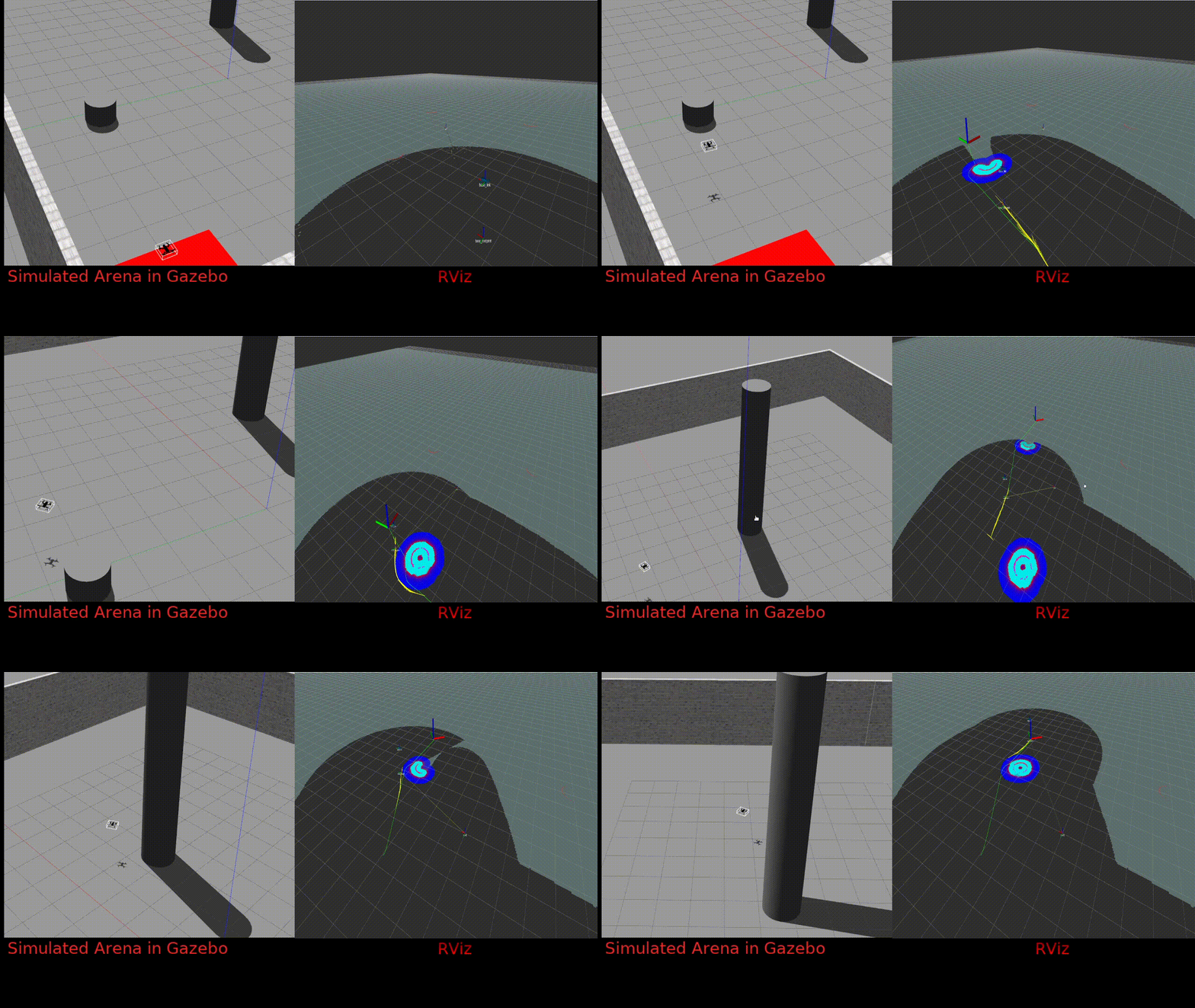
This simulation is replicating the actual Arena equipped with OptiTrack . We used OptiTrack System to get the very accurate drone position and center position of the obstacle . As it is Easier to use Navigation Stack with Laser data , we have to converted the obstacle position to laser datas . We approximated the shape of the obstacle as a circle , created a circualr point-cloud of it and then finally coverted the point cloud data to laser data in a drone frame .
Above video shows the final result of drone , planning in 2d plane without pre existing map .
We uses the drone foot frint to plan in 2d , thats why it is also avoiding the objects which are below the drone’s current altitude .